


Garmin Tread SxS 8" Powersports Navigator w/ Group Ride Radio
Regular price
$ 999.99
Regular price
$ 1,499.99
-33%
Sale price
$ 999.99
Product details
- Type Navigation
- Vendor Garmin
- SKU 010-02507-00
- Shipping Weight 1.0 lb
IF IT’S PAVED, THERE’S NOTHING TO PROVE.
Hit the trails and have fun with your friends with this rugged powersport GPS navigator. It has all the mapping you need to stay on track and communication technology to stay in touch while you’re out there.


| General | |
|---|---|
| Dimension | 8.1"W x 6.7"H x 1.2"D (20.7 x 16.9 x 3.1 cm) |
| Weight |
22.8 oz (646 g) |
| Water rating | IPX7 |
| Display Type | multi-touch, glass, high brightness HD color TFT with white backlight |
| Display Size | 6.8"W x 4.2"H (10.8 cm x 17.2 mm); 8" diagonal (20.3 cm) |
| Display resolution | 1280 x 800 pixels |
| Dual-orientation display | yes |
| Magnetic Mount | locking magnet-assisted mount |
| Tube mount (1.5" - 2.375") | yes |
| 1.5" ball adapter with AMPS plate | yes |
| Drop rating | MIL-STD-810 |
| Dust rating | IP6X |
| Battery Type | rechargeable lithium-ion |
| Battery life |
Up to 6 hours at 50% backlight |
| Maps & Memory | |
|---|---|
| Data cards | microSD™ card (not included) |
| Preloaded street maps | yes |
| High Definition 3D terrain | yes |
| 3D Terrain | yes |
| Internal storage | 64 GB |
| Ability to add maps | yes |
| External memory storage | yes (256 GB max microSD™ card) |
| Includes map updates | yes |
| Downloadable Satellite Imagery | yes (BirdsEye) |
| BirdsEye Direct Satellite Imagery | yes |
| TOPO map support | yes |
| Sensors | |
|---|---|
| GPS | yes |
| Galileo | yes |
| Barometric altimeter | yes |
| Compass | yes |
| 10 Hz multi-GNSS positioning | yes |
| Outdoor Recreation | |
|---|---|
| Point-to-point navigation | yes |
| Preloaded topographical maps | yes |
| Preloaded US public land boundaries | yes |
| Preloaded private land parcel maps | yes (parcels greater than 4 acres) |
| Preloaded USFS Roads and Trails, including motor-vehicle-use-maps for motorcycle, ATV, SXS and full-size 4x4 | yes |
| Navigate-a-track navigation | yes |
| Turn-by-turn trail navigation | yes |
| Compatible with Outdoor Maps+ Subscription | yes |
| Camera Features | |
|---|---|
| Backup camera compatible | yes (BC™ 50 only) |
| Navigation Features | |
|---|---|
| Garmin Real Directions™ landmark guidance | yes |
| TripAdvisor® Traveler Ratings | yes |
| Route shaping through preferred cities/streets | yes |
| Includes traffic | yes (with Garmin Tread app) |
| Lane assist with junction view (displays junction signs) | yes |
| Bluetooth® pairing | yes (works with BLUETOOTH-compatible helmet, headset or smartphone; BLE capable) |
| Speed limit indicator (displays speed limit for most major roads in the U.S. and Europe) | yes |
| Advanced Features | |
|---|---|
| Smart notifications via app | yes |
| Wi-Fi® map and software updates | yes |
| Access to live services via app (traffic, weather, etc.) | yes |
| Motorcycle Features | |
|---|---|
| Control music and media from smartphone or MP3 player | yes |
| Sunlight readable and weather resistant | yes |
| Garmin Adventurous Routing™ | yes |
| Motorcycle or powersports specific points of interest for cycle repair services, dealers and more | yes |
| Elevation profile | yes |
| Round trip routing | yes |
| Service History Log | yes |
| Custom map support | yes |
| RV Features | |
|---|---|
| Specialized routing for the size and weight of your vehicle | yes |
| RV Parks & Services directory | yes |
| Road elevations | yes |
| Speed limit changes | yes |
| Easy Route Planner with GPX file sharing | yes |
| Adventure Features | |
|---|---|
| Built-in inReach® Technology (requires active subscription; subject to regulations or prohibitions in some jurisdictions) | yes |
| Pair with Garmin PowerSwitch™ digital switch box | yes |
| Compatible with Group Ride Radio | yes (included) |
| Compatible with external GPS antenna with mount | yes |
| Compatible with external inReach® satellite antenna | yes |
| Group Ride Mobile | yes (with Garmin Tread app) |
| Track recorder (breadcrumbs) | yes |
| Compatible with the Garmin Tread app for route planning and data management (waypoints, tracks, and routes) | yes |
| iOverlander™ points of interest | yes |
| Ultimate Public Campgrounds | yes |
| Pitch and Roll gauges | yes |
| Birdseye Satellite Imagery (download via Wi-Fi) | yes |
| Glove-friendly touchscreen | yes |
| Group Ride Radio | |
|---|---|
| Radio Frequency Band | MURS (151-154 MHz) |
| Group Ride Range | typically 1 mile |
| Group Ride tracking | up to 20 riders simultaneously |
| Group Ride update rate | 2.5 seconds |
| Group Ride voice communications | yes (with included fist mic or paired BLUETOOTH headset) |
| Fist mic compatibility | Also works with other MURS VHF radios (151 MHz - 154 MHz) |
| Radio transmitted canned messages | yes |
| Outdoor Applications | |
|---|---|
| Dog tracking | yes (when paired to compatible dog track system) |
1Limitations may exist in map data for some road and trail route suggestions. Always defer to all posted road signs and conditions during vehicle operation. The Garmin OpenStreetMap products are intended to be used only as a supplementary travel aid.
2Active satellite subscription required for the inReach features. Some jurisdictions regulate or prohibit the use of satellite communications devices. It is your responsibility to know and follow all applicable laws in the jurisdictions where the device is intended to be used.
The Bluetooth word mark and logos are registered trademarks owned by Bluetooth SIG, Inc. and any use of such marks by Garmin is under license. Satellite Imagery © 2021 Maxar Technologies (date of satellite imagery may vary). Wi-Fi is a registered trademark of the Wi-Fi Alliance. Copyright 2022 by iOverlander, LLC. Copyright © 2022 Ultimate Campgrounds - All rights reserved.
More from Garmin
-38%


Garmin HRM 600 Heartrate Monitor
In stock
-22%
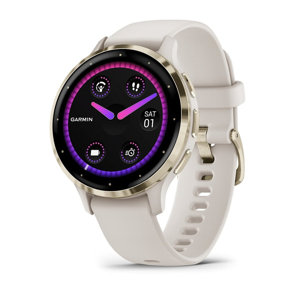

Garmin Venu 3S 41mm Smartwatch
In stock
-20%


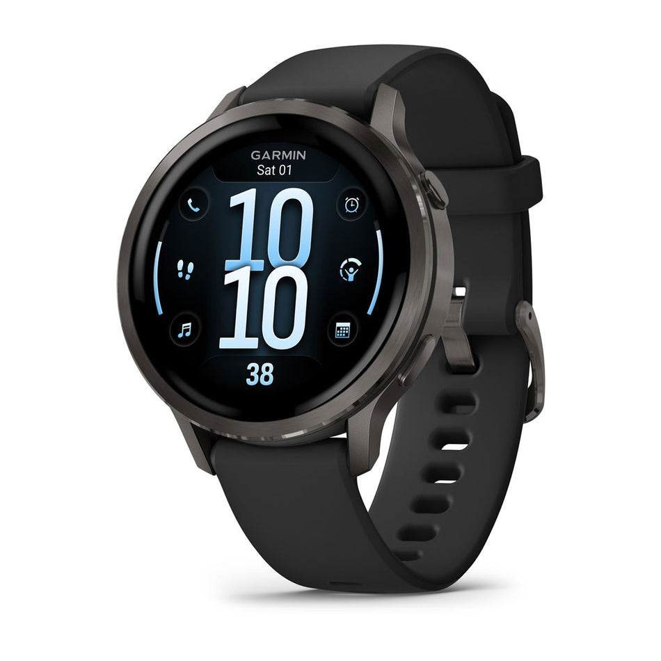
Garmin Forerunner 970 Smartwatch
In stock
-22%


Garmin Instinct 3 AMOLED Smartwatch
In stock


-25%


Garmin fēnix 8 AMOLED Smartwatch
In stock

Garmin Venu 4 41mm Smartwatch
In stock


